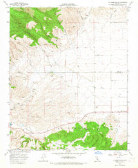
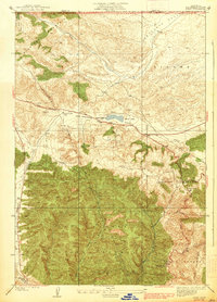
1965 Map of La Liebre Ranch
USGS Topo · Published 1967About this map
The San Andreas Rift Zone creates a distinct corridor across this portion of the northern Los Angeles County landscape, marking the base of the La Liebre mountains. At the heart of this region is the historic La Liebre Ranch, a site of longstanding significance for regional land management and ranching history. The terrain is characterized by a series of deep drainages including Big Sycamore Canyon and Little Sycamore Canyon, which cut through the southern slopes toward the rift valley.
Find a feature on this map
24 named features on this map. Tap any name to fly to it.
Don’t see what you’re looking for? This feature index may not catch every label — zoom into the map to look around manually.
Map Details
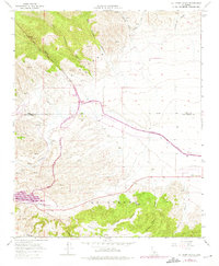
Editions of this 1965 La Liebre Ranch Map
2 editions found
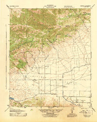
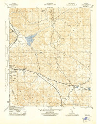
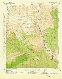
Other maps of this area

1903 · Tejon
USGS Topo · 1:125,000
1932 · Neenach
USGS Topo · 1:24,000
1933 · Quail
USGS Topo · 1:24,000

1938 · Liebre
USGS Topo · 1:24,000
1938 · Quail
USGS Topo · 1:24,000
1943 · Neenach
USGS Topo · 1:62,500

1945 · Pastoria Creek
USGS Topo · 1:31,680
1945 · Lebec
USGS Topo · 1:31,680
1945 · Black Mtn
USGS Topo · 1:31,680

1949 · Los Angeles
USGS Topo · 1:250,000