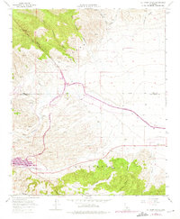
1965 Map of La Liebre Ranch
USGS Topo · Published 1975About this map
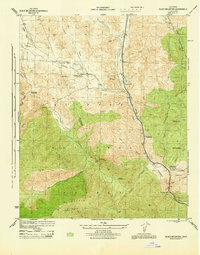
La Liebre Ranch and the arid high-desert borderlands of Kern and Los Angeles Counties are captured here during a period of massive hydraulic infrastructure development. The California Aqueduct dominates the central landscape, showing its complex path through the Tehachapi Afterbay and the Oso Pumping Plant. This engineering feat is set against a stark geological reality, as the San Andreas Fault Zone cuts directly across the southern portion of the sheet near Quail Lake.
Find a feature on this map
25 named features on this map. Tap any name to fly to it.
Don’t see what you’re looking for? This feature index may not catch every label — zoom into the map to look around manually.
Map Details
Editions of this 1965 La Liebre Ranch Map
2 editions found
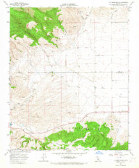
Other maps of this area

1903 · Tejon
USGS Topo · 1:125,000

1932 · Neenach
USGS Topo · 1:24,000

1933 · Quail
USGS Topo · 1:24,000

1938 · Liebre
USGS Topo · 1:24,000

1938 · Quail
USGS Topo · 1:24,000

1943 · Neenach
USGS Topo · 1:62,500
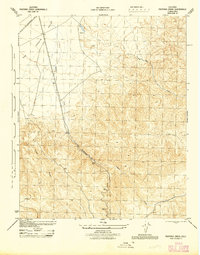
1945 · Pastoria Creek
USGS Topo · 1:31,680
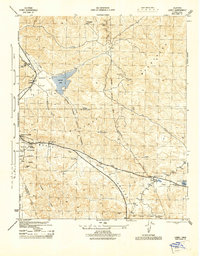
1945 · Lebec
USGS Topo · 1:31,680
1945 · Black Mtn
USGS Topo · 1:31,680

1949 · Los Angeles
USGS Topo · 1:250,000