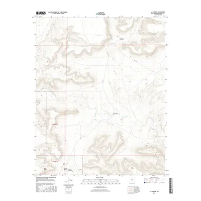
2017 Map of La Liendre
USGS Topo · Published 2017About this map
The Gallinas River meanders through this San Miguel County landscape, cutting through high mesas and deep canyons that define the local geography. The settlement of La Liendre serves as the central point of interest, situated near several significant topographic features such as Cañon del Agua and the elevated Mesas Cuatas. To the south, the terrain becomes increasingly complex where Aguilar Cr flows near Mesa Apache, highlighting the rugged drainage patterns characteristic of this region.
Find a feature on this map
15 named features on this map. Tap any name to fly to it.
Don’t see what you’re looking for? This feature index may not catch every label — zoom into the map to look around manually.
Map Details
Editions of this 2017 La Liendre Map
This is the sole edition of this map. No revisions or reprints were ever made.
Other maps of this area

1889 · Las Vegas
USGS Topo · 1:125,000

1890 · Bernal
USGS Topo · 1:125,000

1891 · Bernal
USGS Topo · 1:125,000

1891 · Las Vegas
USGS Topo · 1:125,000

1892 · Watrous
USGS Topo · 1:125,000

1892 · Corazon
USGS Topo · 1:125,000

1893 · Las Vegas
USGS Topo · 1:125,000

1894 · Corazon
USGS Topo · 1:125,000

1894 · Watrous
USGS Topo · 1:125,000

1894 · Bernal
USGS Topo · 1:125,000