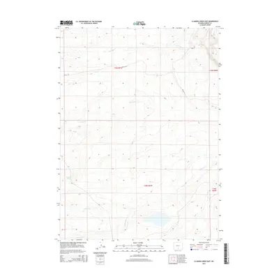
2015 Map of La Marsh Creek East
USGS Topo · Published 2015About this map
Deadman Springs serves as a notable hydrologic marker in this high-plains landscape of Carbon County, where seasonal drainages carve a complex network of coulees. The terrain is defined by the prominent Hugus Cliff in the northeast and a series of intermittent streams including Little Sage Cr, Deadman Cr, and Rasmussen Cr that flow toward the larger La Marsh Cr. This 2015 survey illustrates a region largely dedicated to open range and resource management, with human presence marked primarily by the path of Wy-71 and the winding Bolten Rd. The map provides a detailed look at the Public Land Survey System grid, showing the intersection of townships T18N and T19N, which is essential for researchers tracing specific land parcels or historical grazing allotments in this part of Wyoming.
Find a feature on this map
14 named features on this map. Tap any name to fly to it.
Don’t see what you’re looking for? This feature index may not catch every label — zoom into the map to look around manually.
Map Details
Editions of this 2015 La Marsh Creek East Map
This is the sole edition of this map. No revisions or reprints were ever made.
Other maps of this area

1932 · Savery
USGS Topo · 1:96,000

1940 · Savery
USGS Topo · 1:125,000

1954 · Rawlins
USGS Topo · 1:250,000

1956 · Bridger Pass
USGS Topo · 1:62,500

1956 · Bolten Ranch
USGS Topo · 1:62,500

1958 · Rawlins
USGS Topo · 1:250,000

1961 · Middlewood Hill
USGS Topo · 1:24,000

1961 · Pine Grove Ranch
USGS Topo · 1:24,000

1961 · Jack Creek Reservoir
USGS Topo · 1:24,000

1962 · Rawlins
USGS Topo · 1:250,000