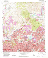
2021 Map of La Mesa
USGS Topo · Published 2021About this map
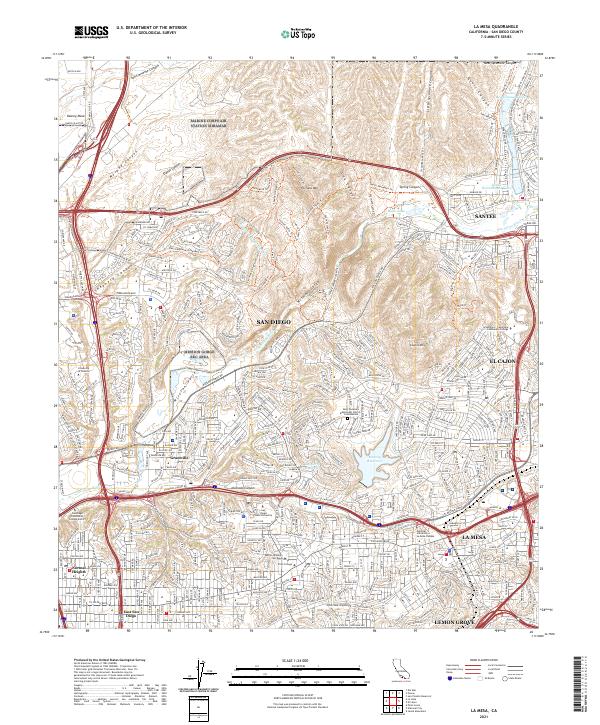
Fortuna Mtn and Cowles Mtn anchor the high ground above the densely settled San Diego interior, where urban expansion meets the protected open spaces of Mission Gorge. This modern survey reveals the intricate road networks of La Mesa, Santee, and El Cajon, framing a landscape where education and recreation define the community structure. Institutions like San Diego State University and Grossmont-Cuyamaca Community College appear alongside local landmarks such as Murray Reservoir and the Santee Recreational Lakes. The course of the San Diego River carves through the center, transitioning from the open reaches of Mission Valley to the steep-walled canyon near the Mission Gorge Visitors Center, illustrating how topography has shaped the development of established neighborhoods like Normal Heights and Grantville.
Find a feature on this map
70 named features on this map. Tap any name to fly to it.
Don’t see what you’re looking for? This feature index may not catch every label — zoom into the map to look around manually.
Map Details
Editions of this 2021 La Mesa Map
This is the sole edition of this map. No revisions or reprints were ever made.
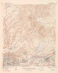
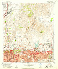
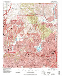
Historical Maps of Allied Gardens Through Time
6 maps found