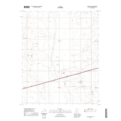
2020 Map of La Mesita Negra
USGS Topo · Published 2020About this map
Rio Puerco carves a winding path through this arid basin west of Albuquerque, serving as the central geographic anchor for the surrounding high desert terrain. The landscape is defined by its significant drainage features and volcanic remnants, most notably the prominent rise of La Mesita Negra and the distinct formation of Cerro Colorado. These natural landmarks are bisected by seasonal washes including Cañada del Ojo to the west and Cañada los Apaches in the south.
Find a feature on this map
30 named features on this map. Tap any name to fly to it.
Don’t see what you’re looking for? This feature index may not catch every label — zoom into the map to look around manually.
Map Details
Editions of this 2020 La Mesita Negra Map
This is the sole edition of this map. No revisions or reprints were ever made.
Other maps of this area

1883 · Mt. Taylor
USGS Topo · 1:250,000

1886 · Mt. Taylor
USGS Topo · 1:250,000

1888 · Bernalillo
USGS Topo · 1:125,000

1889 · Albuquerque
USGS Topo · 1:125,000

1892 · Mt. Taylor
USGS Topo · 1:250,000

1893 · Albuquerque
USGS Topo · 1:125,000

1899 · Mt. Taylor
USGS Topo · 1:250,000

1917 · Cerro Verde
USGS Topo · 1:125,000

1952 · Wind Mesa
USGS Topo · 1:24,000

1952 · Dalies NW
USGS Topo · 1:24,000