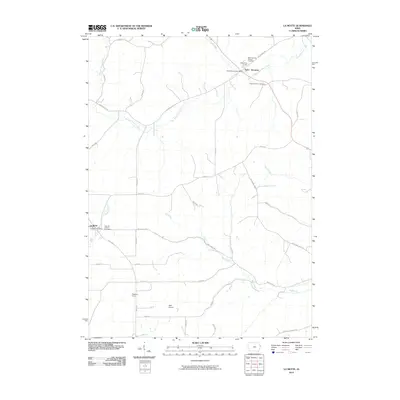
2010 Map of La Motte
USGS Topo · Published 2010About this map
Saint Donatus stands as a focal point in the northeastern corner of this Jackson County landscape, characterized by its deep religious and community heritage. The area is defined by its Catholic roots, evidenced by the Way of the Cross and the Saint Donatus Catholic Cemetery. To the southwest, the town of La Motte serves as another primary settlement, home to the East Hill Catholic Cemetery.
Find a feature on this map
39 named features on this map. Tap any name to fly to it.
Don’t see what you’re looking for? This feature index may not catch every label — zoom into the map to look around manually.
Map Details
Editions of this 2010 La Motte Map
This is the sole edition of this map. No revisions or reprints were ever made.
Other maps of this area

1891 · Maquoketa
USGS Topo · 1:62,500

1901 · Peosta
USGS Topo · 1:125,000

1911 · Galena
USGS Topo · 1:62,500

1913 · Galena
USGS Topo · 1:62,500

1935 · East Dubuque
USGS Topo · 1:62,500

1935 · Miles
USGS Topo · 1:62,500

1940 · East Dubuque
USGS Topo · 1:62,500

1941 · Miles
USGS Topo · 1:62,500

1955 · Menominee
USGS Topo · 1:24,000

1955 · Dubuque South
USGS Topo · 1:24,000