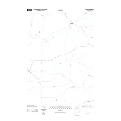
2013 Map of La Motte
USGS Topo · Published 2013About this map
Saint Donatus and La Motte anchor this landscape in eastern Iowa, where a dense network of creek valleys carves through the Jackson County terrain. The survey highlights a distinctly rural structure, with numerous named waterways such as Tete des Morts Cr, Mill Cr, and Spruce Cr dictating the placement of early routes and modern roads. A significant local landmark, the Way of the Cross, is noted near Saint Donatus, reflecting the area's cultural heritage.
Find a feature on this map
49 named features on this map. Tap any name to fly to it.
Don’t see what you’re looking for? This feature index may not catch every label — zoom into the map to look around manually.
Map Details
Editions of this 2013 La Motte Map
This is the sole edition of this map. No revisions or reprints were ever made.
Other maps of this area

1891 · Maquoketa
USGS Topo · 1:62,500

1901 · Peosta
USGS Topo · 1:125,000

1911 · Galena
USGS Topo · 1:62,500

1913 · Galena
USGS Topo · 1:62,500

1935 · East Dubuque
USGS Topo · 1:62,500

1935 · Miles
USGS Topo · 1:62,500

1940 · East Dubuque
USGS Topo · 1:62,500

1941 · Miles
USGS Topo · 1:62,500

1955 · Menominee
USGS Topo · 1:24,000

1955 · Dubuque South
USGS Topo · 1:24,000