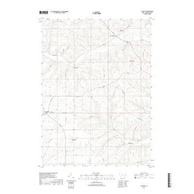
2018 Map of La Motte
USGS Topo · Published 2018About this map
St. Donatus and La Motte anchor this survey of eastern Iowa, where the landscape is defined by the winding drainages of Tete des Morts Cr and Brush Cr. The distribution of historical burial sites, including the Saint Donatus Catholic Cem and East Hill Catholic Cem, reflects the long-standing community centers of Jackson County. The terrain transitions from the higher elevations of Sieverding Ridge Rd down toward the various valley floors carved by Farmers Cr and Mill Cr. This 2018 record shows a network of local thoroughfares like Co Hwy D57 and Centerville Rd that still follow the township lines and natural ridges established in earlier generations. The prominence of family-related landmarks, such as the Federman Farm Cem, provides genealogists with specific geographic anchors for local history research.
Find a feature on this map
52 named features on this map. Tap any name to fly to it.
Don’t see what you’re looking for? This feature index may not catch every label — zoom into the map to look around manually.
Map Details
Editions of this 2018 La Motte Map
This is the sole edition of this map. No revisions or reprints were ever made.
Other maps of this area

1891 · Maquoketa
USGS Topo · 1:62,500

1901 · Peosta
USGS Topo · 1:125,000

1911 · Galena
USGS Topo · 1:62,500

1913 · Galena
USGS Topo · 1:62,500

1935 · East Dubuque
USGS Topo · 1:62,500

1935 · Miles
USGS Topo · 1:62,500

1940 · East Dubuque
USGS Topo · 1:62,500

1941 · Miles
USGS Topo · 1:62,500

1955 · Menominee
USGS Topo · 1:24,000

1955 · Dubuque South
USGS Topo · 1:24,000