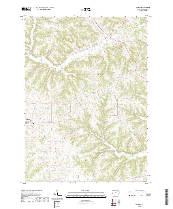
2022 Map of La Motte
USGS Topo · Published 2022About this map
St. Donatus and La Motte anchor this survey of rural Jackson County, where the landscape is deeply etched by a network of waterways including Tete des Morts Cr, Mill Cr, and Spruce Cr. The map reveals a high concentration of religious and genealogical sites concentrated near the primary settlements, such as the Saint Donatus Catholic Cem and Saint John's Lutheran Cem along Main St and Centerville Rd. To the southwest, La Motte is flanked by the Holy Rosary Cem and East Hill Cem. The transportation network is defined by high ridges and valley floors, with routes like Sieverding Ridge Rd and the Bellevue Cascade Rd following the natural contours of the Driftless Area terrain, connecting isolated farmsteads and township boundaries.
Find a feature on this map
34 named features on this map. Tap any name to fly to it.
Don’t see what you’re looking for? This feature index may not catch every label — zoom into the map to look around manually.
Map Details
Editions of this 2022 La Motte Map
This is the sole edition of this map. No revisions or reprints were ever made.
Other maps of this area

1891 · Maquoketa
USGS Topo · 1:62,500

1901 · Peosta
USGS Topo · 1:125,000

1911 · Galena
USGS Topo · 1:62,500

1913 · Galena
USGS Topo · 1:62,500

1935 · East Dubuque
USGS Topo · 1:62,500

1935 · Miles
USGS Topo · 1:62,500

1940 · East Dubuque
USGS Topo · 1:62,500

1941 · Miles
USGS Topo · 1:62,500

1955 · Menominee
USGS Topo · 1:24,000

1955 · Dubuque South
USGS Topo · 1:24,000