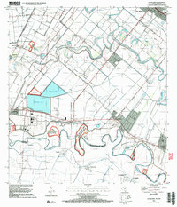
2022 Map of La Paloma
USGS Topo · Published 2022About this map
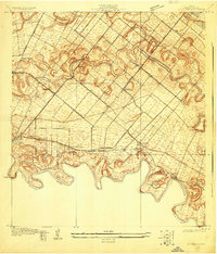
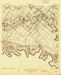
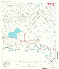
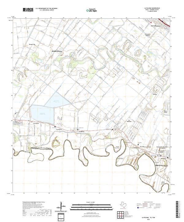
The serpentine Rio Grande defines the southern boundary of this region, separating the United States of America from Estados Unidos Mexicanos. This stretch of the Rio Grande Valley is characterized by dramatic meanders such as Wentz Bend, Ehlers Bend, and Woods Bend, highlighting the river's historical shifts. North of the river, a dense network of irrigation channels like the Harlingen-Main-Canal and Lateral-L-Canal supports the agricultural landscape, feeding into Reservoir Number One and Reservoir Number Two.
Find a feature on this map
167 named features on this map. Tap any name to fly to it.
Don’t see what you’re looking for? This feature index may not catch every label — zoom into the map to look around manually.
Map Details
Editions of this 2022 La Paloma Map
This is the sole edition of this map. No revisions or reprints were ever made.
Historical Maps of Rangerville Through Time
5 maps found