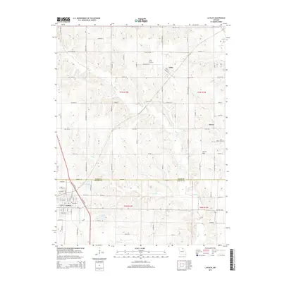
2015 Map of La Plata
USGS Topo · Published 2015About this map
La Plata occupies the southwestern corner of this survey, serving as a primary hub where the landscape transitions across the Adair Co Macon Co line. The area's hydrology is defined by the Middle Fork Salt River and the small reservoirs of Santa Fe Lake and Laplata Lake, which support the local community. Further north, the small settlements of Gibbs and Wilson anchor a grid of rural roads and agricultural plots, including family-named landmarks like Gibbs Union Cemetery.
Find a feature on this map
57 named features on this map. Tap any name to fly to it.
Don’t see what you’re looking for? This feature index may not catch every label — zoom into the map to look around manually.
Map Details
Editions of this 2015 La Plata Map
This is the sole edition of this map. No revisions or reprints were ever made.
Other maps of this area

1903 · Edina
USGS Topo · 1:125,000

1908 · Atlanta
USGS Topo · 1:62,500

1937 · Elmer
USGS Topo · 1:48,000

1938 · Kirksville
USGS Topo · 1:62,500

1940 · Kirksville
USGS Topo · 1:62,500

1942 · Elmer
USGS Topo · 1:62,500

1953 · Moberly
USGS Topo · 1:250,000

1954 · Centerville
USGS Topo · 1:250,000

1954 · Moberly
USGS Topo · 1:250,000

1957 · Moberly
USGS Topo · 1:250,000