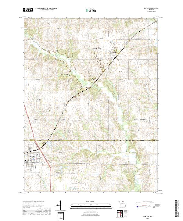
2021 Map of La Plata
USGS Topo · Published 2021About this map
The town of La Plata anchors the southern portion of this northern Missouri landscape, situated where the high ground transitions into the drainage basins of the Middle Fork Salt River and Titus Cr. This 2021 survey illustrates a well-ordered grid of county roads and agricultural lanes, such as Archer Ln and Cranberry Ln, that crisscross the undulating terrain between Macon Co and Adair Co. To the north, the small settlement of Gibbs sits near Gibbs Union Cem, while local water management is evidenced by Santa Fe Lake and La Plata Lake. The map's detailed hydrography, including Bear Cr and Willow Br, highlights the importance of drainage in this rural prairie-border region, providing genealogists and local historians a contemporary look at the land divisions and family landmarks that have persisted since the area's early development.
Find a feature on this map
96 named features on this map. Tap any name to fly to it.
Don’t see what you’re looking for? This feature index may not catch every label — zoom into the map to look around manually.
Map Details
Editions of this 2021 La Plata Map
This is the sole edition of this map. No revisions or reprints were ever made.
Other maps of this area

1903 · Edina
USGS Topo · 1:125,000

1908 · Atlanta
USGS Topo · 1:62,500

1937 · Elmer
USGS Topo · 1:48,000

1938 · Kirksville
USGS Topo · 1:62,500

1940 · Kirksville
USGS Topo · 1:62,500

1942 · Elmer
USGS Topo · 1:62,500

1953 · Moberly
USGS Topo · 1:250,000

1954 · Centerville
USGS Topo · 1:250,000

1954 · Moberly
USGS Topo · 1:250,000

1957 · Moberly
USGS Topo · 1:250,000