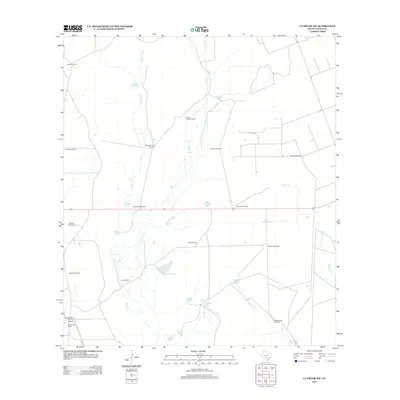
2013 Map of La Pryor NW
USGS Topo · Published 2013About this map
Oliphant Ranch and Chaparrosa Ranch anchor this landscape in northwestern Zavala County, highlighting the region's enduring ranching heritage. The presence of the Chaparrosa Ranch Airport indicates the scale of these operations in a territory where water management is paramount. A dense network of infrastructure for livestock is evident, including dozens of named water sources like Cometa Tank, Pepe Tank, and Willow Tank, along with specialized landmarks like the Lake Windmill and Rancho Viejo Windmill.
Find a feature on this map
35 named features on this map. Tap any name to fly to it.
Don’t see what you’re looking for? This feature index may not catch every label — zoom into the map to look around manually.
Map Details
Editions of this 2013 La Pryor NW Map
This is the sole edition of this map. No revisions or reprints were ever made.
Other maps of this area

1896 · Brackett
USGS Topo · 1:125,000

1897 · Brackett
USGS Topo · 1:125,000

1898 · Uvalde
USGS Topo · 1:125,000

1899 · Uvalde
USGS Topo · 1:125,000

1939 · La Pryor
USGS Topo · 1:62,500

1940 · Chacon Creek
USGS Topo · 1:62,500

1949 · Cline
USGS Topo · 1:62,500

1953 · Crystal City
USGS Topo · 1:250,000

1954 · San Antonio
USGS Topo · 1:250,000

1955 · Crystal City
USGS Topo · 1:250,000