
1956 Map of La Push
USGS Topo · Published 1960About this map
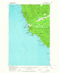
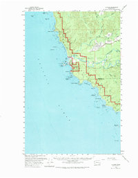
The confluence of the Soleduck River, Bogachiel River, and Dickey River forms the short but vital Quillayute River in this 1956 survey of the Olympic Peninsula coastline. The village of La Push serves as the focal point within the Quillayute Ind Res, situated across the water from Rialto Beach. The map documents a period of strategic military presence and resource extraction, evidenced by the Quillayute Outlying Field Naval Res and a Logging RR terminating near Little Prairie. Along the Pacific shore, the terrain is marked by a succession of iconic sea stacks and landmarks, from James Island and Quillayute Needle to the southern reaches of Giants Graveyard and Alexander Island. Inland, the settlement of Mora and the open spaces of Quillayute Prairie illustrate the established local infrastructure before the modern expansion of wilderness protections.
Find a feature on this map
57 named features on this map. Tap any name to fly to it.
Don’t see what you’re looking for? This feature index may not catch every label — zoom into the map to look around manually.
Map Details
Editions of this 1956 La Push Map
Other maps of this area

1935 · Ozette Lake
USGS Topo · 1:62,500

1935 · Lake Pleasant
USGS Topo · 1:62,500

1939 · Forks
USGS Topo · 1:62,500

1942 · Ozette Lake
USGS Topo · 1:62,500

1942 · Lake Pleasant
USGS Topo · 1:62,500

1943 · Copalis Beach
USGS Topo · 1:250,000

1951 · Copalis Beach
USGS Topo · 1:250,000

1953 · Cape Flattery
USGS Topo · 1:250,000

1956 · Destruction Island
USGS Topo · 1:62,500

1956 · Ozette Lake
USGS Topo · 1:62,500