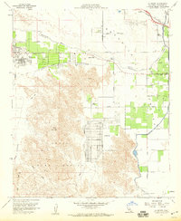
1959 Map of La Quinta
USGS Topo · Published 1960About this map
Palm Desert and Indian Wells emerge as developing resort hubs in this late-1950s survey of the Coachella Valley. The map captures a landscape in transition, where the arid alluvial plains are being re-engineered for leisure and agriculture. Large-scale irrigation and flood control are central to this transformation, evidenced by the prominent Coachella Canal, the Stormwater Channel, and the La Quinta Aqueduct managing the runoff from the Whitewater River.
Find a feature on this map
46 named features on this map. Tap any name to fly to it.
Don’t see what you’re looking for? This feature index may not catch every label — zoom into the map to look around manually.
Map Details
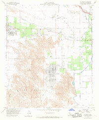
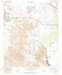
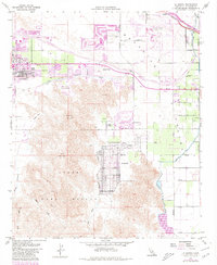
Editions of this 1959 La Quinta Map
4 editions found
Other maps of this area

1904 · Indio
USGS Topo · 1:125,000

1941 · Toro Peak
USGS Topo · 1:62,500

1941 · Coachella
USGS Topo · 1:62,500

1941 · Edom
USGS Topo · 1:62,500

1943 · Coachella
USGS Topo · 1:62,500

1944 · Toro peak
USGS Topo · 1:62,500

1944 · Edom
USGS Topo · 1:62,500

1944 · Pinyon Well
USGS Topo · 1:62,500

1947 · Santa Ana
USGS Topo · 1:250,000

1949 · Santa Ana
USGS Topo · 1:250,000