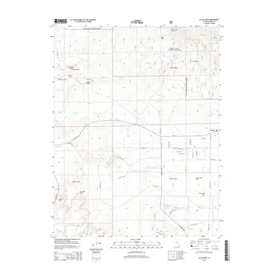
2014 Map of La Sal West
USGS Topo · Published 2014About this map
La Sal serves as the primary settlement on this high-desert plateau, situated just east of the northern reaches of the Manti-Lasal National Forest. The landscape is a complex network of drainages and canyons, including Cottonwood Canyon, Muleshoe Canyon, and the prominent Joe Wilson Canyon. Water management is a defining characteristic of the local geography, evidenced by a series of specialized impoundments such as the Upper Bankhead Reservoir, Lower Bankhead Reservoir, and the Rattlesnake Ranch Number One Reservoir.
Find a feature on this map
52 named features on this map. Tap any name to fly to it.
Don’t see what you’re looking for? This feature index may not catch every label — zoom into the map to look around manually.
Map Details
Editions of this 2014 La Sal West Map
This is the sole edition of this map. No revisions or reprints were ever made.
Other maps of this area

1885 · La Sal
USGS Topo · 1:250,000

1954 · Mt Peale 3 NW
USGS Topo · 1:24,000

1954 · Mt Peale 4 NW
USGS Topo · 1:24,000

1954 · Mt Peale 3 NE
USGS Topo · 1:24,000

1954 · Mt Peale 1 SW
USGS Topo · 1:24,000

1954 · Mt Peale 1 NW
USGS Topo · 1:24,000

1954 · Mt Peale 2 SW
USGS Topo · 1:24,000

1954 · Mt Peale 2 NW
USGS Topo · 1:24,000

1954 · Mt Peale 2 SE
USGS Topo · 1:24,000

1954 · Mt Peale 2 NE
USGS Topo · 1:24,000