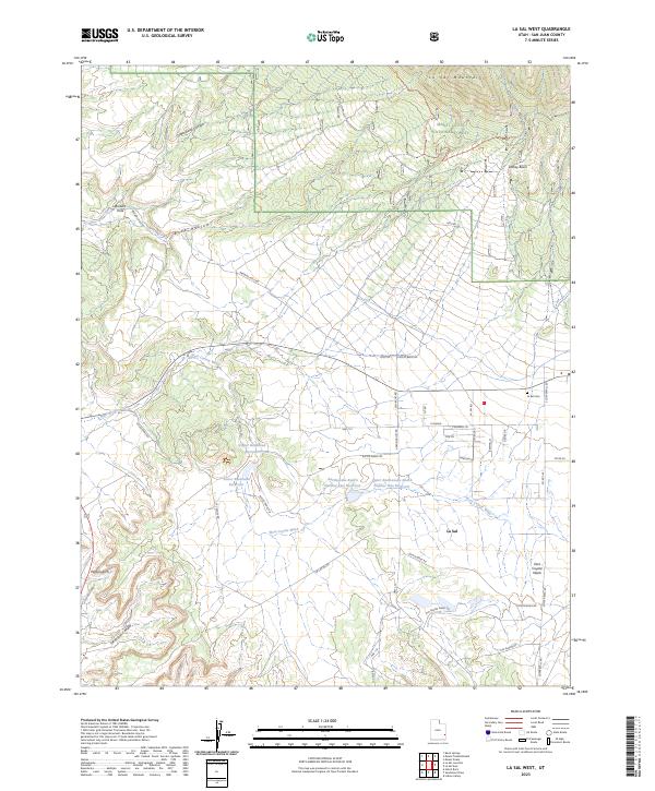
2023 Map of La Sal West
USGS Topo · Published 2023About this map
La Sal serves as the primary hub in this corner of San Juan County, where high-desert ranching and water management define the landscape. The reliance on seasonal water is evident in a string of infrastructure including Upper Bankhead Reservoir, Lower Bankhead Reservoir, and the Number Two Reservoir. This modern survey reveals a complex network of ranching and mining roads, such as Oliver Mine Rd and Rio Algom Shaft Rd, which point to the area’s industrial history and the extraction of uranium and potash. To the north, the terrain rises into the Manti-La Sal National Forest and the peaks of the La Sal Mountains, while prominent natural features like Wilson Arch and Cottonwood Canyon mark the more arid western stretches. Genealogists will find the La Sal Cem positioned near the town, anchoring the history of the families that settled this high-altitude valley.
Find a feature on this map
48 named features on this map. Tap any name to fly to it.
Don’t see what you’re looking for? This feature index may not catch every label — zoom into the map to look around manually.
Map Details
Editions of this 2023 La Sal West Map
This is the sole edition of this map. No revisions or reprints were ever made.
Other maps of this area

1885 · La Sal
USGS Topo · 1:250,000

1954 · Mt Peale 3 NW
USGS Topo · 1:24,000

1954 · Mt Peale 4 NW
USGS Topo · 1:24,000

1954 · Mt Peale 3 NE
USGS Topo · 1:24,000

1954 · Mt Peale 1 SW
USGS Topo · 1:24,000

1954 · Mt Peale 1 NW
USGS Topo · 1:24,000

1954 · Mt Peale 2 SW
USGS Topo · 1:24,000

1954 · Mt Peale 2 NW
USGS Topo · 1:24,000

1954 · Mt Peale 2 SE
USGS Topo · 1:24,000

1954 · Mt Peale 2 NE
USGS Topo · 1:24,000