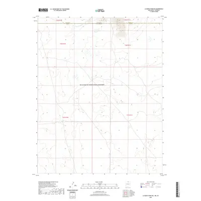
2020 Map of La Segita Peaks NE
USGS Topo · Published 2020About this map
The Río Grande Del Norte National Monument dominates the high-plateau landscape of this borderland region, where the state line divides Colorado and New Mexico. This 2020 survey illustrates a sparsely developed high-desert terrain punctuated by agricultural water management systems such as the Taos Valley Ditch Number 1. This specific water feature represents the historic importance of acequias and communal irrigation in the San Luis Valley, tracing a delicate path across the northern reaches of Taos County. The boundary between Conejos County and Taos County is clearly defined alongside the state border, marking a transition point between Southern Colorado ranchlands and the protected landscapes of Northern New Mexico.
Find a feature on this map
8 named features on this map. Tap any name to fly to it.
Don’t see what you’re looking for? This feature index may not catch every label — zoom into the map to look around manually.
Map Details
Editions of this 2020 La Segita Peaks NE Map
This is the sole edition of this map. No revisions or reprints were ever made.
Other maps of this area

1954 · Raton
USGS Topo · 1:250,000

1954 · Trinidad
USGS Topo · 1:250,000

1955 · Trinidad
USGS Topo · 1:250,000

1958 · Raton
USGS Topo · 1:250,000

1958 · Trinidad
USGS Topo · 1:250,000

1959 · Trinidad
USGS Topo · 1:250,000

1963 · Pinabetoso Peaks
USGS Topo · 1:24,000

1963 · Cerro De La Olla
USGS Topo · 1:24,000

1963 · Ute Mountain
USGS Topo · 1:24,000

1963 · Sunshine
USGS Topo · 1:24,000