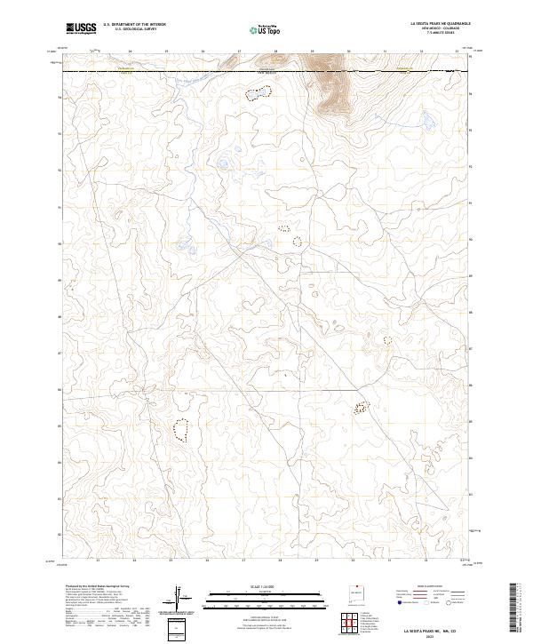
2023 Map of La Segita Peaks NE
USGS Topo · Published 2023About this map
Rio Grande Del Norte National Monument dominates this high-altitude landscape along the border of Colorado and New Mexico, where the plains of Conejos Co and Taos Co meet. The terrain is marked by the subtle path of the Taos Valley Ditch Number 1, an essential piece of water infrastructure that reflects the region's historical reliance on irrigation systems to manage high-desert agricultural life. This 2023 survey illustrates the sparsely populated but highly managed nature of the borderlands, showing how modern land conservation and traditional water rights intersect. The absence of dense settlements emphasizes the protected status of the monument and the continued importance of the ditch system in a dry, open environment.
Find a feature on this map
9 named features on this map. Tap any name to fly to it.
Don’t see what you’re looking for? This feature index may not catch every label — zoom into the map to look around manually.
Map Details
Editions of this 2023 La Segita Peaks NE Map
This is the sole edition of this map. No revisions or reprints were ever made.
Other maps of this area

1954 · Raton
USGS Topo · 1:250,000

1954 · Trinidad
USGS Topo · 1:250,000

1955 · Trinidad
USGS Topo · 1:250,000

1958 · Raton
USGS Topo · 1:250,000

1958 · Trinidad
USGS Topo · 1:250,000

1959 · Trinidad
USGS Topo · 1:250,000

1963 · Pinabetoso Peaks
USGS Topo · 1:24,000

1963 · Cerro De La Olla
USGS Topo · 1:24,000

1963 · Ute Mountain
USGS Topo · 1:24,000

1963 · Sunshine
USGS Topo · 1:24,000