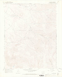
1967 Map of La Valley
USGS Topo · Published 1970About this map
The small settlement of La Valley sits along the San Francisco Creek in this high-altitude landscape of Costilla County. Much of the terrain is defined by the Sangre De Cristo Grant, a historic land holding characterized by its complex network of drainage systems. Numerous creeks, including Vallejos Creek, Torcido Creek, and Jaroso Creek, carve through the steep topography of the southern Rocky Mountains.
Find a feature on this map
14 named features on this map. Tap any name to fly to it.
Don’t see what you’re looking for? This feature index may not catch every label — zoom into the map to look around manually.
Map Details
Editions of this 1967 La Valley Map
3 editions found

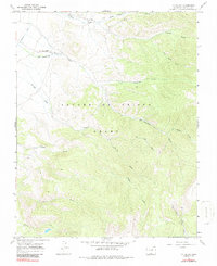
Other maps of this area

1954 · Raton
USGS Topo · 1:250,000

1954 · Trinidad
USGS Topo · 1:250,000

1955 · Trinidad
USGS Topo · 1:250,000

1958 · Raton
USGS Topo · 1:250,000

1958 · Trinidad
USGS Topo · 1:250,000

1959 · Trinidad
USGS Topo · 1:250,000

1962 · Ash Mountain
USGS Topo · 1:62,500

1963 · Amalia
USGS Topo · 1:24,000

1963 · Big Costilla Peak
USGS Topo · 1:24,000

1967 · San Luis
USGS Topo · 1:24,000