
1967 Map of La Valley
USGS Topo · Published 1970About this map
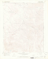
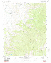
La Valley sits along the northern edge of this high-elevation landscape, where the Sangre De Cristo Grant dominates the central and southern terrain. This 1967 field-checked survey reveals a complex drainage network vital to the region's historical geography, including Vallejos Creek and San Francisco Creek flowing from the eastern slopes. A Jeep Trail provides the primary access route through the rugged interior, winding between the headwaters of Torcido Creek and Jaroso Creek. The map documents a specific moment in Costilla County history, showing the traditional land divisions and the hydrological importance of watercourses like Rito Agua Azul and Alamosito Creek as they descend toward the San Luis Valley. This topography emphasizes the transition from the valley floor to the higher mountain watersheds of West Fork Costilla Creek and Willow Creek.
Find a feature on this map
14 named features on this map. Tap any name to fly to it.
Don’t see what you’re looking for? This feature index may not catch every label — zoom into the map to look around manually.
Map Details
Editions of this 1967 La Valley Map
3 editions found
Other maps of this area

1954 · Raton
USGS Topo · 1:250,000

1954 · Trinidad
USGS Topo · 1:250,000

1955 · Trinidad
USGS Topo · 1:250,000

1958 · Raton
USGS Topo · 1:250,000

1958 · Trinidad
USGS Topo · 1:250,000

1959 · Trinidad
USGS Topo · 1:250,000

1962 · Ash Mountain
USGS Topo · 1:62,500

1963 · Amalia
USGS Topo · 1:24,000

1963 · Big Costilla Peak
USGS Topo · 1:24,000

1967 · San Luis
USGS Topo · 1:24,000