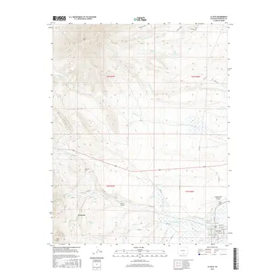
2016 Map of La Veta
USGS Topo · Published 2016About this map
La Veta serves as the primary center of activity in this 2016 study, where the town grid is well-defined by streets such as W Francisco St and N Main St. The landscape to the west and north is defined by significant elevation changes and seasonal drainage systems, including the rugged slopes of Silver Mtn and Cross Mtn. Water management is central to the area's geography, evidenced by the presence of the Cucharas River, Dyer Ditch, and several man-made catchments like Owens Reservoir Number 2 and C T Ritchey Reservoir.
Find a feature on this map
54 named features on this map. Tap any name to fly to it.
Don’t see what you’re looking for? This feature index may not catch every label — zoom into the map to look around manually.
Map Details
Editions of this 2016 La Veta Map
This is the sole edition of this map. No revisions or reprints were ever made.
Other maps of this area

1889 · Huerfano Park
USGS Topo · 1:125,000

1891 · Walsenburg
USGS Topo · 1:125,000

1891 · Spanish Peaks
USGS Topo · 1:125,000

1892 · Huerfano Park
USGS Topo · 1:125,000

1893 · Spanish Peaks
USGS Topo · 1:125,000

1894 · Walsenburg
USGS Topo · 1:125,000

1895 · Spanish Peaks
USGS Topo · 1:125,000

1897 · Walsenburg
USGS Topo · 1:125,000

1897 · Spanish Peaks
USGS Topo · 1:125,000

1900 · Spanish Peaks
USGS Topo · 1:125,000