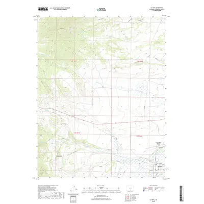
2019 Map of La Veta
USGS Topo · Published 2019About this map
Silver Mtn and Cross Mtn define the high-elevation western boundary of this landscape, where the terrain drops sharply into the Cuchara Valley. The town of La Veta serves as the primary settlement, situated along the Cucharas River where the plains meet the foothills. This 2019 survey documents a complex network of water management features, including the Dyer Ditch, Owens Reservoir Number 2, and high-altitude bodies like Frisco Lake.
Find a feature on this map
48 named features on this map. Tap any name to fly to it.
Don’t see what you’re looking for? This feature index may not catch every label — zoom into the map to look around manually.
Map Details
Editions of this 2019 La Veta Map
This is the sole edition of this map. No revisions or reprints were ever made.
Other maps of this area

1889 · Huerfano Park
USGS Topo · 1:125,000

1891 · Walsenburg
USGS Topo · 1:125,000

1891 · Spanish Peaks
USGS Topo · 1:125,000

1892 · Huerfano Park
USGS Topo · 1:125,000

1893 · Spanish Peaks
USGS Topo · 1:125,000

1894 · Walsenburg
USGS Topo · 1:125,000

1895 · Spanish Peaks
USGS Topo · 1:125,000

1897 · Walsenburg
USGS Topo · 1:125,000

1897 · Spanish Peaks
USGS Topo · 1:125,000

1900 · Spanish Peaks
USGS Topo · 1:125,000