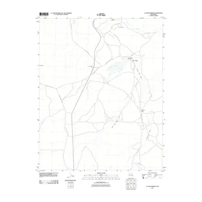
2010 Map of La Vida Mission
USGS Topo · Published 2010About this map
La Vida Mission and Tsaya Trading Post anchor this landscape within the Eastern Navajo Agency, situated at the confluence of several significant desert drainages. The Chaco River and Kim-me-ni-oli Wash cut through the terrain, defining the local geography alongside the Juans Vicente Lake Dam and its impoundment, Juans Lake. This area is a critical node for local governance and commerce, evidenced by the Lake Valley Chapter House and the surrounding settlement of Lake Valley.
Find a feature on this map
25 named features on this map. Tap any name to fly to it.
Don’t see what you’re looking for? This feature index may not catch every label — zoom into the map to look around manually.
Map Details
Editions of this 2010 La Vida Mission Map
This is the sole edition of this map. No revisions or reprints were ever made.
Other maps of this area

1886 · Wingate
USGS Topo · 1:250,000

1889 · Chaco
USGS Topo · 1:250,000

1892 · Wingate
USGS Topo · 1:250,000

1892 · Chaco
USGS Topo · 1:250,000

1954 · Shiprock
USGS Topo · 1:250,000

1954 · Gallup
USGS Topo · 1:250,000

1958 · Gallup
USGS Topo · 1:250,000

1958 · Shiprock
USGS Topo · 1:250,000

1959 · Shiprock
USGS Topo · 1:250,000

1959 · Gallup
USGS Topo · 1:250,000
Featured Places
- Eastern Navajo Agency, NM
- Tsaya, Eastern Navajo Agency
- Lake Valley, Eastern Navajo Agency
- San Juan County, NM
- McKinley County, NM