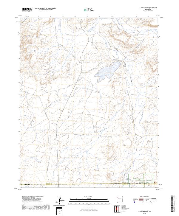
2023 Map of La Vida Mission
USGS Topo · Published 2023About this map
Lake Valley and the surrounding high desert of the San Juan Basin are defined by an intricate network of drainage washes and expansive valleys. The landscape is dominated by the Chaco River and the winding Kim-me-ni-oli Wash, which carve through Yellow Point Valley and Rock Point Valley. This modern topographical study captures the intersection of ancient history and current land management at the southern edge of the quadrangle. A portion of the Chaco Culture National Historical Park is visible, including the Kin Biniola Public Access, providing a detailed view of the terrain surrounding these significant ancestral sites. The map also documents a complex system of local roads, such as San Juan 7744 and Indian Svc Rte 7102, which link the dispersed settlement of Lake Valley to the broader San Juan and McKinley County region.
Find a feature on this map
30 named features on this map. Tap any name to fly to it.
Don’t see what you’re looking for? This feature index may not catch every label — zoom into the map to look around manually.
Map Details
Editions of this 2023 La Vida Mission Map
This is the sole edition of this map. No revisions or reprints were ever made.
Other maps of this area

1886 · Wingate
USGS Topo · 1:250,000

1889 · Chaco
USGS Topo · 1:250,000

1892 · Wingate
USGS Topo · 1:250,000

1892 · Chaco
USGS Topo · 1:250,000

1954 · Shiprock
USGS Topo · 1:250,000

1954 · Gallup
USGS Topo · 1:250,000

1958 · Gallup
USGS Topo · 1:250,000

1958 · Shiprock
USGS Topo · 1:250,000

1959 · Shiprock
USGS Topo · 1:250,000

1959 · Gallup
USGS Topo · 1:250,000
Featured Places
- Eastern Navajo Agency, NM
- Lake Valley, Eastern Navajo Agency
- Tsaya, Eastern Navajo Agency
- San Juan County, NM
- McKinley County, NM