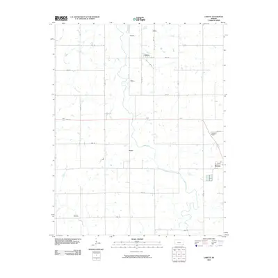
2010 Map of Labette
USGS Topo · Published 2010About this map
Labette Creek meanders through the southeastern Kansas prairie, anchoring a rural landscape defined by straight-line section roads and small agricultural hubs. The city of Oswego occupies the southeastern corner of the quadrangle, serving as the primary population center, while smaller named locations like Labette, Stover, and Garvin mark the intersections of the regional grid. This 2010 survey reflects the enduring structure of Labette County's farm-to-market road system, with long-established cemeteries like Oswego Cemetery and Labette Cemetery providing valuable touchpoints for genealogical research. The drainage patterns of Spring Creek and its tributaries offer a natural contrast to the rigid geometry of the surrounding fields, illustrating how the local hydrology continues to shape the agricultural development and placement of historic settlements in this part of the state.
Find a feature on this map
33 named features on this map. Tap any name to fly to it.
Don’t see what you’re looking for? This feature index may not catch every label — zoom into the map to look around manually.
Map Details
Editions of this 2010 Labette Map
This is the sole edition of this map. No revisions or reprints were ever made.
Other maps of this area

1886 · Parsons
USGS Topo · 1:125,000

1893 · Parsons
USGS Topo · 1:125,000

1943 · McCune
USGS Topo · 1:62,500

1944 · Oswego
USGS Topo · 1:62,500

1945 · Mc Cune
USGS Topo · 1:62,500

1945 · Parsons
USGS Topo · 1:62,500

1946 · Oswego
USGS Topo · 1:48,000

1946 · Parsons
USGS Topo · 1:62,500

1946 · Mound Valley
USGS Topo · 1:62,500

1947 · Parsons
USGS Topo · 1:62,500