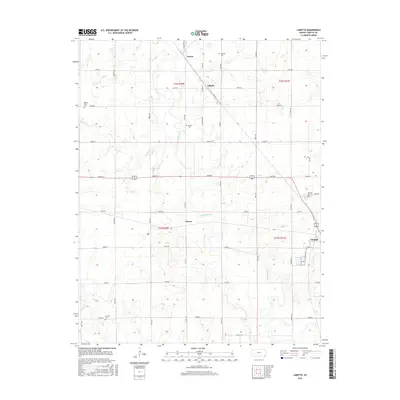
2016 Map of Labette
USGS Topo · Published 2016About this map
Oswego and the small agricultural settlements of Labette and Garvin anchor this mid-2010s survey of eastern Kansas. The landscape is defined by a grid-like network of rural roads such as Trego Rd and Victory Rd that divide the rolling terrain into sections. Centered on the winding path of Labette Creek, the map reveals a history of rural community life preserved through several local burial grounds, including Spring Valley Cem and Labette Cem.
Find a feature on this map
42 named features on this map. Tap any name to fly to it.
Don’t see what you’re looking for? This feature index may not catch every label — zoom into the map to look around manually.
Map Details
Editions of this 2016 Labette Map
This is the sole edition of this map. No revisions or reprints were ever made.
Other maps of this area

1886 · Parsons
USGS Topo · 1:125,000

1893 · Parsons
USGS Topo · 1:125,000

1943 · McCune
USGS Topo · 1:62,500

1944 · Oswego
USGS Topo · 1:62,500

1945 · Mc Cune
USGS Topo · 1:62,500

1945 · Parsons
USGS Topo · 1:62,500

1946 · Oswego
USGS Topo · 1:48,000

1946 · Parsons
USGS Topo · 1:62,500

1946 · Mound Valley
USGS Topo · 1:62,500

1947 · Parsons
USGS Topo · 1:62,500