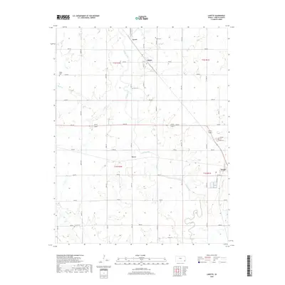
2018 Map of Labette
USGS Topo · Published 2018About this map
Labette Creek and its many meandering tributaries, such as Deer Cr and Spring Cr, define the rural landscape of Labette County. The township is anchored by the small settlements of Labette and Garvin in the north, while the city of Oswego occupies the southeastern corner. The map reveals a highly structured grid of section roads, including Queens Rd, Rooks Rd, and Victory Rd, which facilitate transport across this agricultural region. For genealogists and local historians, the sheet provides precise locations for several community burial grounds, including Labette Cem, Mason Cem, and Fairview Cem. The layout of Oswego shows its development near the creek, with streets such as Fordyce St and Co Rd 415 marking the town's edge.
Find a feature on this map
38 named features on this map. Tap any name to fly to it.
Don’t see what you’re looking for? This feature index may not catch every label — zoom into the map to look around manually.
Map Details
Editions of this 2018 Labette Map
This is the sole edition of this map. No revisions or reprints were ever made.
Other maps of this area

1886 · Parsons
USGS Topo · 1:125,000

1893 · Parsons
USGS Topo · 1:125,000

1943 · McCune
USGS Topo · 1:62,500

1944 · Oswego
USGS Topo · 1:62,500

1945 · Mc Cune
USGS Topo · 1:62,500

1945 · Parsons
USGS Topo · 1:62,500

1946 · Oswego
USGS Topo · 1:48,000

1946 · Parsons
USGS Topo · 1:62,500

1946 · Mound Valley
USGS Topo · 1:62,500

1947 · Parsons
USGS Topo · 1:62,500