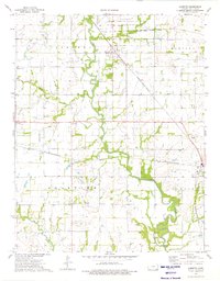
1974 Map of Labette
USGS Topo · Published 1976About this map
The Kansas Army Ammunition Plant dominates the northern landscape of this Labette County region, indicating the area's strategic industrial significance in the mid-1970s. The terrain is defined by the winding course of Labette Creek, which is joined by tributaries like Spring Creek and Deer Creek. This survey captures a rural landscape where agricultural life is anchored by small settlements like Labette, Oswego, and Stover.
Find a feature on this map
26 named features on this map. Tap any name to fly to it.
Don’t see what you’re looking for? This feature index may not catch every label — zoom into the map to look around manually.
Map Details
Editions of this 1974 Labette Map
This is the sole edition of this map. No revisions or reprints were ever made.
Other maps of this area

1886 · Parsons
USGS Topo · 1:125,000

1893 · Parsons
USGS Topo · 1:125,000

1943 · McCune
USGS Topo · 1:62,500

1944 · Oswego
USGS Topo · 1:62,500

1945 · Mc Cune
USGS Topo · 1:62,500

1945 · Parsons
USGS Topo · 1:62,500

1946 · Oswego
USGS Topo · 1:48,000

1946 · Parsons
USGS Topo · 1:62,500

1946 · Mound Valley
USGS Topo · 1:62,500

1947 · Parsons
USGS Topo · 1:62,500