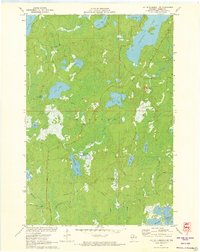
1971 Map of Lac Du Flambeau SW
USGS Topo · Published 1973About this map
Squirrel Hill Lookout Tower stands as a sentinel over this forested landscape in northern Wisconsin, where the headwaters of the Squirrel River and McGrass Creek drain a complex network of glacial lakes and wetlands. The area is defined by its deep involvement in natural resource industries, most notably the large Cranberry Bog situated between Swamsauger Lake and Lake Marie. In the northern section, prominent water bodies like Squirrel Lake, Great Bass Lake, and Stone Lake dominate the terrain, while the southern boundary is marked by the sprawling reaches of the Willow Reservoir. The presence of Camp Fifteen Springs and a network of logging and access roads, such as Camp Nine Road and Manhardt Road, illustrates the mid-century recreational and commercial utility of the Minocqua region during this period of the early 1970s.
Find a feature on this map
30 named features on this map. Tap any name to fly to it.
Don’t see what you’re looking for? This feature index may not catch every label — zoom into the map to look around manually.
Map Details
Editions of this 1971 Lac Du Flambeau SW Map
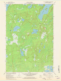
2 editions found
Other maps of this area

1938 · Lac Du Flambeau
USGS Topo · 1:48,000

1939 · Lac Du Flambeau
USGS Topo · 1:48,000

1939 · Mc Cord
USGS Topo · 1:48,000

1941 · Pike Lake
USGS Topo · 1:48,000

1941 · Brantwood
USGS Topo · 1:48,000

1942 · Pike Lake
USGS Topo · 1:48,000

1943 · Brantwood
USGS Topo · 1:48,000

1946 · Lac Du Flambeau
USGS Topo · 1:48,000

1947 · Mc Cord
USGS Topo · 1:48,000

1950 · Pike Lake
USGS Topo · 1:48,000