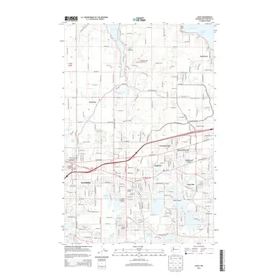
2014 Map of Lacey
USGS Topo · Published 2014About this map
Henderson Inlet and the Nisqually Reach dominate the northern shoreline of this Thurston County region, where the intricate finger-waters of the Puget Sound meet the expanding suburbs of Lacey and Olympia. The landscape transitions from the coastal bluffs of Beachcrest and Sandy Point to the historic open spaces of Woods Prairie and Connors Prairie in the south. These prairies, once critical to early settlement patterns, are interspersed with a dense network of glacial lakes including Hicks Lake, Long Lake, and Pattison Lake.
Find a feature on this map
213 named features on this map. Tap any name to fly to it.
Don’t see what you’re looking for? This feature index may not catch every label — zoom into the map to look around manually.
Map Details
Editions of this 2014 Lacey Map
This is the sole edition of this map. No revisions or reprints were ever made.
Other maps of this area

1916 · Chehalis
USGS Topo · 1:125,000

1937 · Olympia
USGS Topo · 1:62,500

1940 · Tenino
USGS Topo · 1:62,500

1940 · Anderson Island
USGS Topo · 1:62,500

1944 · Tenino
USGS Topo · 1:62,500

1944 · Yelm
USGS Topo · 1:62,500

1948 · Anderson Island
USGS Topo · 1:62,500

1948 · Nisqually
USGS Topo · 1:24,000

1948 · Anderson Island
USGS Topo · 1:24,000

1949 · Yelm
USGS Topo · 1:62,500