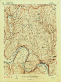
1947 Map of Laceyville
USGS Topo · Published 1947About this map
The Susquehanna River defines the landscape of this 1940s Pennsylvania survey, carving a dramatic oxbow bend that dictates the placement of roads and rail infrastructure. Along the river's northern bank, Laceyville serves as the primary hub, situated near the neighboring settlement of Skinners Eddy. The topography rises sharply away from the river valley into upland plateaus where smaller communities like Spring Hill and Camptown are found. Natural features such as Snyder Swamp and Ackley Pond dot the higher elevations, indicating a mix of wetland and wooded terrain characteristic of Wyoming County. To the south, the village of Sugar Run and the area of Rocky Forest occupy the rugged slopes overlooking the river's path, illustrating how early mid-century development remained closely tied to the region's prominent waterway and the Lehigh Valley Railroad line that follows its shore.
Find a feature on this map
8 named features on this map. Tap any name to fly to it.
Don’t see what you’re looking for? This feature index may not catch every label — zoom into the map to look around manually.
Map Details
Editions of this 1947 Laceyville Map
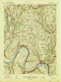
2 editions found
Other maps of this area

1923 · Towanda
USGS Topo · 1:62,500

1926 · Towanda
USGS Topo · 1:62,500

1943 · Towanda
USGS Topo · 1:62,500

1943 · Monroeton
USGS Topo · 1:62,500

1943 · Le Raysville
USGS Topo · 1:62,500

1945 · Le Raysville
USGS Topo · 1:62,500

1945 · Meshoppen
USGS Topo · 1:62,500

1945 · Auburn Center
USGS Topo · 1:24,000

1945 · Jenningsville
USGS Topo · 1:24,000

1945 · Meshoppen
USGS Topo · 1:24,000
Featured Places
- Wilmot Township, PA
- Laceyville, PA
- Herrick Township, PA
- Silvara, Tuscarora Township
- Browntown, Wyalusing Township