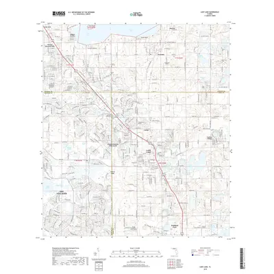
2018 Map of Lady Lake
USGS Topo · Published 2018About this map
The town of Lady Lake sits at the junction of Marion, Lake, and Sumter counties, serving as a focal point for a landscape defined by its numerous water bodies and rapid residential expansion. To the west, the massive development of The Villages has reshaped the former citrus and ranch lands, though pockets of an older Florida remain visible through sites like Forest Hill Cem and the Saint George Episcopal Church Memorial Gardens.
Find a feature on this map
101 named features on this map. Tap any name to fly to it.
Don’t see what you’re looking for? This feature index may not catch every label — zoom into the map to look around manually.
Map Details
Editions of this 2018 Lady Lake Map
This is the sole edition of this map. No revisions or reprints were ever made.
Other maps of this area

1893 · Panasoffkee
USGS Topo · 1:62,500

1895 · Panasoffkee
USGS Topo · 1:62,500

1895 · Ocala
USGS Topo · 1:62,500

1954 · Gainesville
USGS Topo · 1:250,000

1954 · Daytona Beach
USGS Topo · 1:250,000

1955 · Plant City
USGS Topo · 1:250,000

1955 · Orlando
USGS Topo · 1:250,000

1957 · Orlando
USGS Topo · 1:250,000

1958 · Orlando
USGS Topo · 1:250,000

1958 · Daytona Beach
USGS Topo · 1:250,000