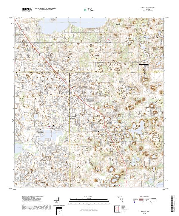
2024 Map of Lady Lake
USGS Topo · Published 2024About this map
Lady Lake serves as the focal point of this Central Florida landscape, where the convergence of Marion, Lake, and Sumter counties shapes the local geography. The area's development is defined by established residential communities like The Villages and Orange Blossom Hills, alongside older agricultural and rural centers like Weirsdale and Fruitland Park. Numerous water bodies, from the expansive Lake Weir in the north to the smaller Lake Geneva and Lake Hiawatha, illustrate the region's typical lake-dominated topography.
Find a feature on this map
61 named features on this map. Tap any name to fly to it.
Don’t see what you’re looking for? This feature index may not catch every label — zoom into the map to look around manually.
Map Details
Editions of this 2024 Lady Lake Map
This is the sole edition of this map. No revisions or reprints were ever made.
Other maps of this area

1893 · Panasoffkee
USGS Topo · 1:62,500

1895 · Panasoffkee
USGS Topo · 1:62,500

1895 · Ocala
USGS Topo · 1:62,500

1954 · Gainesville
USGS Topo · 1:250,000

1954 · Daytona Beach
USGS Topo · 1:250,000

1955 · Plant City
USGS Topo · 1:250,000

1955 · Orlando
USGS Topo · 1:250,000

1957 · Orlando
USGS Topo · 1:250,000

1958 · Orlando
USGS Topo · 1:250,000

1958 · Daytona Beach
USGS Topo · 1:250,000