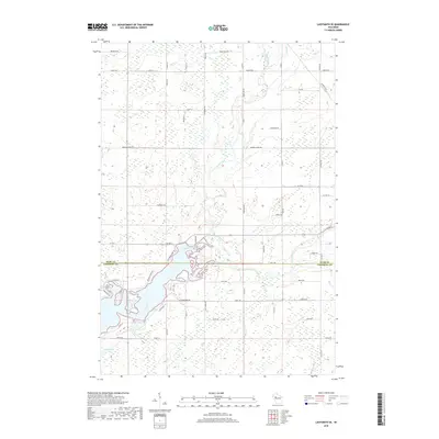
2018 Map of Ladysmith SE
USGS Topo · Published 2018About this map
The Jump River meanders across the southern portion of this landscape, forming a complex waterway system where it meets Main Creek near the border of Rusk Co and Chippewa Co. This region of northern Wisconsin is characterized by an extensive network of rural roads and section lines, with timber and agricultural interests reflected in names like Oak Rd and Blueberry Rd. In the northeast, Skunk Cr flows through the terrain near the junction of Co Rd G and Poplar Rd. The map illustrates a rural settlement pattern where family and descriptive landmarks such as Roedeeker Lake and Fosbinder Rd anchor the local geography. Significant thoroughfares like Railroad Ave and Co Hwy G provide the primary infrastructure for this wood-and-water-dominated territory.
Find a feature on this map
48 named features on this map. Tap any name to fly to it.
Don’t see what you’re looking for? This feature index may not catch every label — zoom into the map to look around manually.
Map Details
Editions of this 2018 Ladysmith SE Map
This is the sole edition of this map. No revisions or reprints were ever made.
Other maps of this area

1947 · Sheldon
USGS Topo · 1:48,000

1948 · Ladysmith
USGS Topo · 1:48,000

1949 · Sheldon
USGS Topo · 1:48,000

1950 · Ladysmith
USGS Topo · 1:48,000

1951 · Cornell
USGS Topo · 1:62,500

1951 · Gilman
USGS Topo · 1:62,500

1953 · Rice Lake
USGS Topo · 1:250,000

1959 · Rice Lake
USGS Topo · 1:250,000
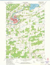
1971 · Ladysmith
USGS Topo · 1:24,000
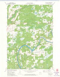
1971 · Thornapple
USGS Topo · 1:24,000