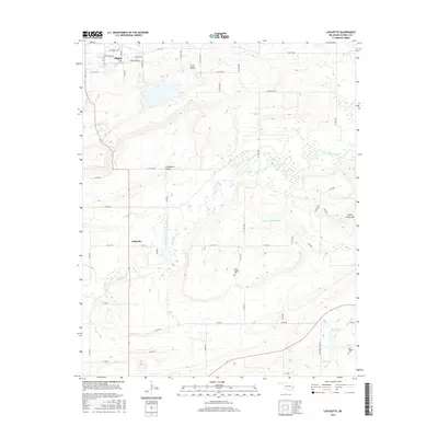
2016 Map of Lafayette
USGS Topo · Published 2016About this map
Stigler occupies the northern edge of this landscape, its grid expanding south toward the winding waters of Sans Bois Creek. The area is defined by its topographic transition from the level reaches of Pruit Valley and Shropshire Valley toward the more varied terrain of Seven Devils Mtn in the east. The rural community of Lafayette serves as a central hub for the network of county roads that crisscross the agricultural land. Evidence of local history and industry is scattered throughout, from the Siloam Springs Cem to the industrial presence of Lone Star Steel Lake in the southeast. Water management is a prominent theme, with several impoundments including Stigler Lake and Robert Mitchell Lake serving the population centers and surrounding livestock farms.
Find a feature on this map
39 named features on this map. Tap any name to fly to it.
Don’t see what you’re looking for? This feature index may not catch every label — zoom into the map to look around manually.
Map Details
Editions of this 2016 Lafayette Map
This is the sole edition of this map. No revisions or reprints were ever made.
Other maps of this area

1900 · Sansbois
USGS Topo · 1:125,000

1900 · Sallisaw
USGS Topo · 1:125,000

1909 · Sans Bois
USGS Topo · 1:125,000

1911 · Sallisaw
USGS Topo · 1:125,000

1911 · Sansbois
USGS Topo · 1:125,000

1946 · Fort Smith
USGS Topo · 1:250,000

1962 · Stigler East
USGS Topo · 1:24,000

1962 · Stigler West
USGS Topo · 1:24,000

1965 · Fort Smith
USGS Topo · 1:250,000

1967 · Fort Smith
USGS Topo · 1:250,000