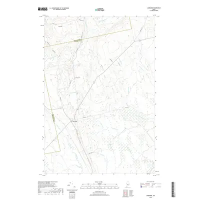
2018 Map of Lagrange
USGS Topo · Published 2018About this map
The town of Lagrange serves as the central hub in this 2018 survey, where the administrative boundary between Piscataquis and Penobscot counties cuts across the northern landscape. This territory is defined by an intricate network of waterways, including Birch Stream, Dead Stream, and Hemlock Stream, which navigate a low-lying, wetland-rich environment. The terrain rises to the northwest at Paddy Hill, while the rest of the quadrangle is etched with the drainage patterns of Roberts Rocky Brook and Cold Stream.
Find a feature on this map
27 named features on this map. Tap any name to fly to it.
Don’t see what you’re looking for? This feature index may not catch every label — zoom into the map to look around manually.
Map Details
Editions of this 2018 Lagrange Map
This is the sole edition of this map. No revisions or reprints were ever made.
Other maps of this area

1917 · Passadumkeag
USGS Topo · 1:62,500

1933 · Boyd Lake
USGS Topo · 1:62,500

1942 · Lincoln
USGS Topo · 1:62,500

1947 · Schoodic
USGS Topo · 1:62,500

1949 · Schoodic
USGS Topo · 1:62,500

1951 · Boyd Lake
USGS Topo · 1:50,000

1954 · Millinocket
USGS Topo · 1:250,000

1955 · Boyd Lake
USGS Topo · 1:62,500

1957 · Lincoln
USGS Topo · 1:62,500

1958 · Millinocket
USGS Topo · 1:250,000