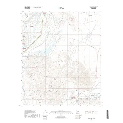
2018 Map of Laguna Dam
USGS Topo · Published 2018About this map
The Colorado River and the Gila River meet in this landscape defined by early 20th-century water management and military operations. The Laguna Dam stands as a central landmark, once serving as the first dam on the Colorado River to provide irrigation for the North Gila Valley. This 2018 survey reveals a complex network of engineering, including the Gila Main Canal and the massive All-American Canal skirting the Chocolate Mountains. To the east, the Laguna Army Airfield (Yuma Proving Ground) occupies a significant portion of the desert floor, reflecting the area's continued strategic importance.
Find a feature on this map
66 named features on this map. Tap any name to fly to it.
Don’t see what you’re looking for? This feature index may not catch every label — zoom into the map to look around manually.
Map Details
Editions of this 2018 Laguna Dam Map
This is the sole edition of this map. No revisions or reprints were ever made.
Other maps of this area

1903 · Yuma
USGS Topo · 1:125,000

1905 · Yuma
USGS Topo · 1:125,000

1926 · Fortuna
USGS Topo · 1:62,500

1929 · Fortuna
USGS Topo · 1:62,500

1929 · Laguna
USGS Topo · 1:62,500

1940 · Yuma
USGS Topo · 1:62,500

1942 · Yuma
USGS Topo · 1:250,000

1943 · Laguna
USGS Topo · 1:62,500

1945 · Picacho Peak
USGS Topo · 1:62,500

1945 · Yuma
USGS Topo · 1:62,500