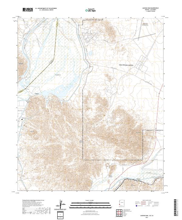
2021 Map of Laguna Dam
USGS Topo · Published 2021About this map
The Colorado River and its massive water management infrastructure define this border landscape, where the All-American Canal and Gila Main Canal divert essential water for the North Gila Valley. This 2021 study documents the critical Laguna Dam and the nearby settlement of Laguna, along with the Laguna Cem that anchors the area's local history. The map captures the meeting of the Gila River and the Colorado, showing the complex network of access roads like Laguna Dam Rd and E Butterfield Stage Rd that traverse the arid terrain.
Find a feature on this map
46 named features on this map. Tap any name to fly to it.
Don’t see what you’re looking for? This feature index may not catch every label — zoom into the map to look around manually.
Map Details
Editions of this 2021 Laguna Dam Map
This is the sole edition of this map. No revisions or reprints were ever made.
Other maps of this area

1903 · Yuma
USGS Topo · 1:125,000

1905 · Yuma
USGS Topo · 1:125,000

1926 · Fortuna
USGS Topo · 1:62,500

1929 · Fortuna
USGS Topo · 1:62,500

1929 · Laguna
USGS Topo · 1:62,500

1940 · Yuma
USGS Topo · 1:62,500

1942 · Yuma
USGS Topo · 1:250,000

1943 · Laguna
USGS Topo · 1:62,500

1945 · Picacho Peak
USGS Topo · 1:62,500

1945 · Yuma
USGS Topo · 1:62,500