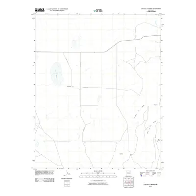
2010 Map of Laguna La Monia
USGS Topo · Published 2010About this map
Laguna La Monia and the surrounding high plains of San Miguel County are depicted in this early 21st-century survey, revealing a landscape defined by ranching and rugged canyon topography. The network of local routes like La Monia Rd and Mishawaka Rd connects dispersed rural holdings such as Feliz Ranch, Schlothauer, and Bryan Pens. To the southeast, the terrain drops into significant geological formations including Cañoncito de Mogote, Cañon de las Cuevas, and Box Canyon, illustrating the drainage patterns that feed toward the Conchas River in the northeast corner. This map serves as a detailed record of land use and named landmarks in a sparsely populated region, featuring the location of the Cimarron Post Office and the small settlement at Cobb.
Find a feature on this map
13 named features on this map. Tap any name to fly to it.
Don’t see what you’re looking for? This feature index may not catch every label — zoom into the map to look around manually.
Map Details
Editions of this 2010 Laguna La Monia Map
This is the sole edition of this map. No revisions or reprints were ever made.
Other maps of this area

1889 · Las Vegas
USGS Topo · 1:125,000

1890 · Bernal
USGS Topo · 1:125,000

1891 · Bernal
USGS Topo · 1:125,000

1891 · Las Vegas
USGS Topo · 1:125,000

1892 · Watrous
USGS Topo · 1:125,000

1892 · Corazon
USGS Topo · 1:125,000

1893 · Las Vegas
USGS Topo · 1:125,000

1894 · Corazon
USGS Topo · 1:125,000

1894 · Watrous
USGS Topo · 1:125,000

1894 · Bernal
USGS Topo · 1:125,000