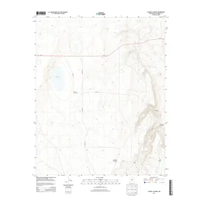
2013 Map of Laguna La Monia
USGS Topo · Published 2013About this map
Laguna La Monia and the high desert terrain of San Miguel County define this landscape, where ranching operations and natural landforms intersect. The presence of named locations like the Schlothauer Feliz Ranch, Bryan Pens, and Cobb indicates a history of land use focused on livestock and rural habitation. This high plateau is carved by deep drainages, including Cañoncito de Mogote and Cañon de las Cuevas, which lead toward the Conchas River in the northeast. The road network, consisting of NM-104, La Monia Rd, and Mishawaka Rd, provides the primary access through this varied topography. A Po landmark near the southern edge suggests a central point for local communication and commerce in this sparsely settled region of New Mexico.
Find a feature on this map
13 named features on this map. Tap any name to fly to it.
Don’t see what you’re looking for? This feature index may not catch every label — zoom into the map to look around manually.
Map Details
Editions of this 2013 Laguna La Monia Map
This is the sole edition of this map. No revisions or reprints were ever made.
Other maps of this area

1889 · Las Vegas
USGS Topo · 1:125,000

1890 · Bernal
USGS Topo · 1:125,000

1891 · Bernal
USGS Topo · 1:125,000

1891 · Las Vegas
USGS Topo · 1:125,000

1892 · Watrous
USGS Topo · 1:125,000

1892 · Corazon
USGS Topo · 1:125,000

1893 · Las Vegas
USGS Topo · 1:125,000

1894 · Corazon
USGS Topo · 1:125,000

1894 · Watrous
USGS Topo · 1:125,000

1894 · Bernal
USGS Topo · 1:125,000