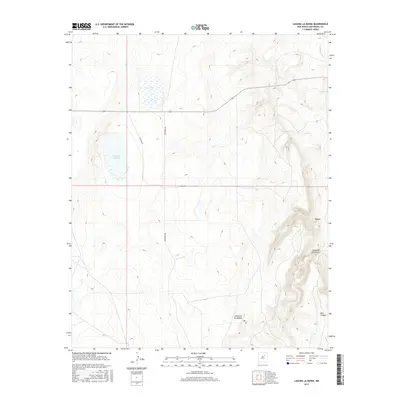
2017 Map of Laguna La Monia
USGS Topo · Published 2017About this map
Laguna La Monia serves as a central landmark in this high-desert landscape of San Miguel County, situated amidst a complex network of canyons and drainage systems. The topography is defined by significant relief, notably seen at the Mogote and the deep incision of Box Canyon to the southeast. Water management and natural flow are highlighted by the Conchas River in the northeast corner and the winding path of Cañoncito de Mogote. Human presence in this environment is traced through rural routes like La Monia Rd and Mishawaka Rd, which navigate the plateaus between the dramatic drops of Cañon de las Cuevas. This 2017 survey illustrates the enduring nature of these landforms, showing how geography dictates the sparse transportation network in this part of New Mexico.
Find a feature on this map
8 named features on this map. Tap any name to fly to it.
Don’t see what you’re looking for? This feature index may not catch every label — zoom into the map to look around manually.
Map Details
Editions of this 2017 Laguna La Monia Map
This is the sole edition of this map. No revisions or reprints were ever made.
Other maps of this area

1889 · Las Vegas
USGS Topo · 1:125,000

1890 · Bernal
USGS Topo · 1:125,000

1891 · Bernal
USGS Topo · 1:125,000

1891 · Las Vegas
USGS Topo · 1:125,000

1892 · Watrous
USGS Topo · 1:125,000

1892 · Corazon
USGS Topo · 1:125,000

1893 · Las Vegas
USGS Topo · 1:125,000

1894 · Corazon
USGS Topo · 1:125,000

1894 · Watrous
USGS Topo · 1:125,000

1894 · Bernal
USGS Topo · 1:125,000