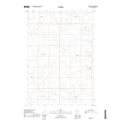
2017 Map of Lahti Butte
USGS Topo · Published 2017About this map
Lahti Butte rises above the drainage basins of north-central Harding County, serving as a prominent landmark in this segment of the Great Plains. The landscape is defined by the intermittent flow of Rush Cr, Jones Cr, and Cottonwood Cr, which carve through the high plains terrain. This 2017 survey shows a region where human footprint is minimal, characterized primarily by sectional boundaries and the path of Clanton Rd. The map provides a clear look at the topographic relief of the area, including the distinctive Mud Butte to the north. This is a characteristic view of the western South Dakota shortgrass prairie, where the natural hydrology and elevation features like the buttes dictate the layout of the few roads that traverse the townships.
Find a feature on this map
12 named features on this map. Tap any name to fly to it.
Don’t see what you’re looking for? This feature index may not catch every label — zoom into the map to look around manually.
Map Details
Editions of this 2017 Lahti Butte Map
This is the sole edition of this map. No revisions or reprints were ever made.
Other maps of this area

1935 · Buffalo
USGS Topo · 1:125,000

1954 · Lemmon
USGS Topo · 1:250,000

1957 · Lemmon
USGS Topo · 1:250,000

1969 · Ladner
USGS Topo · 1:24,000

1969 · Ladner SE
USGS Topo · 1:24,000

1971 · Buffalo
USGS Topo · 1:24,000
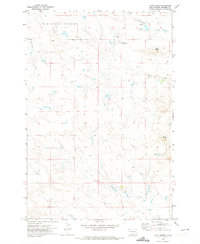
1971 · Lahti Butte
USGS Topo · 1:24,000

1971 · McKenzie Butte
USGS Topo · 1:24,000

1971 · Saddle Butte
USGS Topo · 1:24,000

1973 · Gallup Creek
USGS Topo · 1:24,000