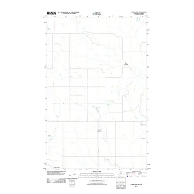
2011 Map of Laird Lake
USGS Topo · Published 2011About this map
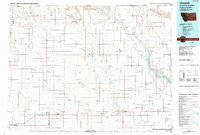
Russell Creek and Sage Creek meander through this northern Montana landscape, revealing a rural environment defined by water management and vast open spaces. The area near Fox Crossing showcases a network of small dams and reservoirs that supported local agricultural needs in the early 21st century. Notable water features include Laird Lake, Wolery Waters Dam, and Sweet Adeline Dam, reflecting a landscape adapted for prairie life. The presence of the Inverness Vol Fire Dept Substation along Inverness Rd highlights the essential community infrastructure serving this remote section of Hill County. From the low-lying Strode Coulee to the banks of Silver Lake, this survey documents the persistent connection between the northern plains and the water sources that sustain them.
Find a feature on this map
13 named features on this map. Tap any name to fly to it.
Don’t see what you’re looking for? This feature index may not catch every label — zoom into the map to look around manually.
Map Details
Editions of this 2011 Laird Lake Map
This is the sole edition of this map. No revisions or reprints were ever made.
Other maps of this area

1919 · Alma
USGS Topo · 1:125,000

1954 · Shelby
USGS Topo · 1:250,000

1958 · Shelby
USGS Topo · 1:250,000

1963 · Bobcat Coulee SE
USGS Topo · 1:24,000
1964 · Bobcat Coulee NE
USGS Topo · 1:24,000

1972 · Goldstone SW
USGS Topo · 1:24,000

1972 · Mc Kinnsey Reservoir West
USGS Topo · 1:24,000
1972 · Goldstone
USGS Topo · 1:24,000
1972 · Laird Lake
USGS Topo · 1:24,000
1984 · Chester
USGS Topo · 1:100,000