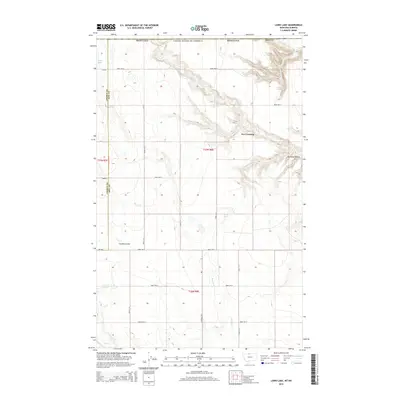
2014 Map of Laird Lake
USGS Topo · Published 2014About this map
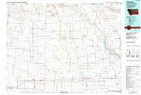
Fox Crossing serves as a central landmark in this high-plains landscape where the borders of Hill County and Liberty County meet. The terrain is defined by dramatic erosional features like Kennedy Coulee and Strode Coulee, which cut through the open country. Water is a vital but sparse resource here, represented by the ephemeral Russell Creek and Sage Creek, along with the namesake Laird Lake and Silver Lake in the northwest corner. This area, situated just south of the international boundary, is organized by a rigid grid of rural roads such as Road 290 N and Inverness Road, reflecting the persistent ranching and agricultural framework of north-central Montana in the early 21st century.
Find a feature on this map
27 named features on this map. Tap any name to fly to it.
Don’t see what you’re looking for? This feature index may not catch every label — zoom into the map to look around manually.
Map Details
Editions of this 2014 Laird Lake Map
This is the sole edition of this map. No revisions or reprints were ever made.
Other maps of this area

1919 · Alma
USGS Topo · 1:125,000

1954 · Shelby
USGS Topo · 1:250,000

1958 · Shelby
USGS Topo · 1:250,000

1963 · Bobcat Coulee SE
USGS Topo · 1:24,000
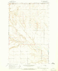
1964 · Bobcat Coulee NE
USGS Topo · 1:24,000

1972 · Goldstone SW
USGS Topo · 1:24,000

1972 · Mc Kinnsey Reservoir West
USGS Topo · 1:24,000
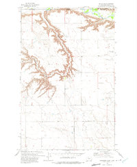
1972 · Goldstone
USGS Topo · 1:24,000
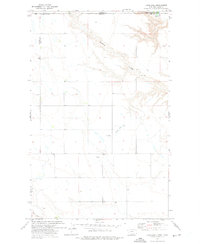
1972 · Laird Lake
USGS Topo · 1:24,000
1984 · Chester
USGS Topo · 1:100,000