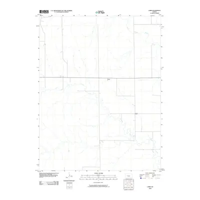
2009 Map of Laird
USGS Topo · Published 2009About this map
Laird stands at a central junction in western Ness County, defined by the convergence of the North Fork Walnut Creek and South Fork Walnut Creek systems. This agricultural and resource-rich landscape in the early 21st century reveals a grid of rural routes, including Co Rd 525, which facilitate the local economy. The presence of the Sunshine Oil Field south of the main settlement indicates the continued importance of energy extraction alongside traditional prairie farming. The drainage patterns of the Walnut Creek tributaries dictate the layout of the fields and the placement of the sparse homesteads and crossroads that characterize this portion of the High Plains.
Find a feature on this map
5 named features on this map. Tap any name to fly to it.
Don’t see what you’re looking for? This feature index may not catch every label — zoom into the map to look around manually.
Map Details
Editions of this 2009 Laird Map
This is the sole edition of this map. No revisions or reprints were ever made.
Other maps of this area

1892 · Ness
USGS Topo · 1:125,000

1893 · Ellis
USGS Topo · 1:125,000

1894 · Ness
USGS Topo · 1:125,000

1955 · Great Bend
USGS Topo · 1:250,000

1955 · Scott City
USGS Topo · 1:250,000

1957 · Great Bend
USGS Topo · 1:250,000

1958 · Great Bend
USGS Topo · 1:250,000

1958 · Scott City
USGS Topo · 1:250,000

1965 · Beeler
USGS Topo · 1:24,000

1965 · Utica SW
USGS Topo · 1:24,000