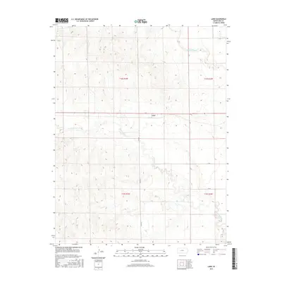
2015 Map of Laird
USGS Topo · Published 2015About this map
Laird sits at the intersection of J Rd and L Rd, serving as a central point in this Ness County landscape. The area is defined by the drainage systems of the Walnut Creek forks, with the N Fork Walnut Cr carving through the northern sections while the S Fork Walnut Cr meanders across the central and southern reaches. This topographic survey illustrates the transition of the High Plains into dissected breaks, where the subtle elevation changes dictate the layout of the section-line road network. Local transit routes such as Co Rd 525, 110 Rd, and 100 Rd provide the framework for the agricultural properties that dominate the quadrangle, reflecting a late 20th-century rural Kansas settlement pattern where water access remains a primary geographic driver.
Find a feature on this map
12 named features on this map. Tap any name to fly to it.
Don’t see what you’re looking for? This feature index may not catch every label — zoom into the map to look around manually.
Map Details
Editions of this 2015 Laird Map
This is the sole edition of this map. No revisions or reprints were ever made.
Other maps of this area

1892 · Ness
USGS Topo · 1:125,000

1893 · Ellis
USGS Topo · 1:125,000

1894 · Ness
USGS Topo · 1:125,000

1955 · Great Bend
USGS Topo · 1:250,000

1955 · Scott City
USGS Topo · 1:250,000

1957 · Great Bend
USGS Topo · 1:250,000

1958 · Great Bend
USGS Topo · 1:250,000

1958 · Scott City
USGS Topo · 1:250,000

1965 · Beeler
USGS Topo · 1:24,000

1965 · Utica SW
USGS Topo · 1:24,000