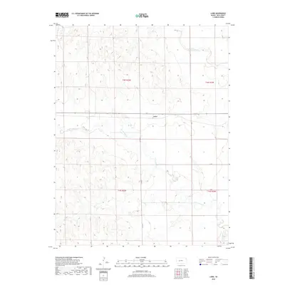
2018 Map of Laird
USGS Topo · Published 2018About this map
Laird sits at the center of this rural Ness County landscape, positioned along the high ground between two major drainage systems. The terrain is defined by the winding paths of N Fork Walnut Cr to the north and S Fork Walnut Cr which snakes across the southern half of the sheet. This 2018 survey illustrates a classic High Plains grid system, where local travel is dictated by numbered and lettered routes like J Rd and Co Rd 525. The land is deeply dissected by small draws and coulees feeding into the Walnut Creek forks, creating a complex topographic pattern of ridges and breaks that has likely influenced grazing and agricultural boundaries for generations. Researchers can trace the section lines of Townships 18 and 19 South, observing how the modern road network follows these historic legal divisions.
Find a feature on this map
12 named features on this map. Tap any name to fly to it.
Don’t see what you’re looking for? This feature index may not catch every label — zoom into the map to look around manually.
Map Details
Editions of this 2018 Laird Map
This is the sole edition of this map. No revisions or reprints were ever made.
Other maps of this area

1892 · Ness
USGS Topo · 1:125,000

1893 · Ellis
USGS Topo · 1:125,000

1894 · Ness
USGS Topo · 1:125,000

1955 · Great Bend
USGS Topo · 1:250,000

1955 · Scott City
USGS Topo · 1:250,000

1957 · Great Bend
USGS Topo · 1:250,000

1958 · Great Bend
USGS Topo · 1:250,000

1958 · Scott City
USGS Topo · 1:250,000

1965 · Beeler
USGS Topo · 1:24,000

1965 · Utica SW
USGS Topo · 1:24,000