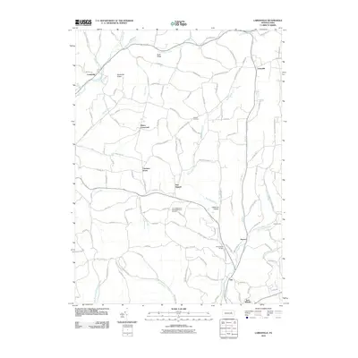
2010 Map of Lairdsville
USGS Topo · Published 2010About this map
Little Muncy Creek and its various tributaries, including German Run and Big Run, define the northern landscape of this region at the turn of the 21st century. The map centers on the small rural community of Pine Summit, situated between the elevations of Buck Ridge and the California Hollow terrain. Local navigation and heritage are rooted in family-named locations such as Ritters Crossroads, while religious and community life is anchored by Gordner Church and the nearby Gordner Cemetery.
Find a feature on this map
112 named features on this map. Tap any name to fly to it.
Don’t see what you’re looking for? This feature index may not catch every label — zoom into the map to look around manually.
Map Details
Editions of this 2010 Lairdsville Map
This is the sole edition of this map. No revisions or reprints were ever made.
Other maps of this area

1894 · Bloomsburg
USGS Topo · 1:62,500

1927 · Eagles Mere
USGS Topo · 1:48,000

1932 · Eagle Mere
USGS Topo · 1:62,500

1934 · Laporte
USGS Topo · 1:62,500

1935 · Hughesville
USGS Topo · 1:62,500

1947 · Bloomsburg
USGS Topo · 1:24,000

1947 · Benton
USGS Topo · 1:31,680
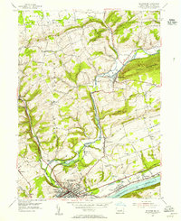
1953 · Bloomsburg
USGS Topo · 1:24,000
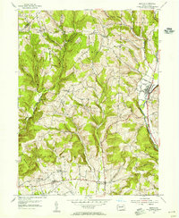
1953 · Benton
USGS Topo · 1:24,000

1953 · Hughesville
USGS Topo · 1:62,500
Featured Places
- Greenwood Township, PA
- Moreland Township, PA
- Pine Township, PA
- Lairdsville, Franklin Township
- Pine Summit, Pine Township